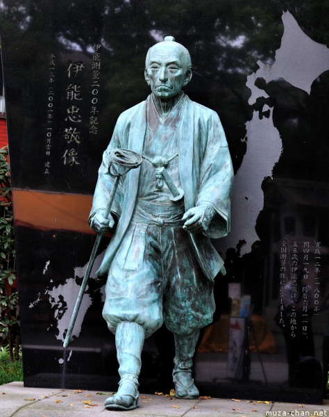
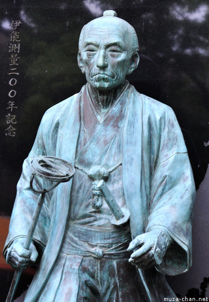
In Tokyo, at the Tomioka Hachiman Shrine, there is a statue of Ino Tadataka (1745-1818), who made the first map of Japan using modern surveying.
His story is very interesting, because he wasn’t a science man, he was a trader. Only at the age of 50 years, after moving to Edo, he was able to study mathematics, astronomy and geography, as student of astronomer Takahashi Yoshitoki. After 5 years of study, the shogunate allowed him to make his first topographic measurements, but on his own expense.
During the 17 years of work on his project, he was able to survey the entire coastline of Japan and some inland areas, covering over 34,000 km.
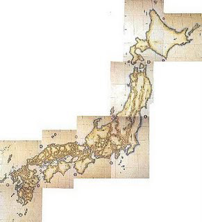
His map, Dai Nihon Enkai Yochi Zenzu (大日本沿海輿地全図 Maps of Japan’s coastal area), made at a scale of 1:216.000, finished and published after his death, remained the official map of Japan for almost a century.
Ino Tadataka, primul topograf al Japoniei
La altarul Tomioka Hachiman din Tokyo se află statuia lui Ino Tadataka (1745-1818), cel care a realizat prima hartă a Japoniei folosind metode moderne de topografie.
Povestea lui este interesantă, pentru că în tinereţe nu a fost un om de ştiinţă, a fost comerciant. Abia la vârsta de 50 de ani, după ce s-a mutat la Edo, a început să studieze matematica, astronomia şi geografia, fiind elevul astromului Takahashi Yoshitoki. După 5 ani de studii, shogunatul i-a permis să facă primele măsurători topografice, însă pe cheltuiala lui.
În cei 17 ani cât a muncit la proiect a reuşit să cartografieze peste 34.000 de km, toată coasta insulelor Japoniei şi unele porţiuni din interior.
Harta sa la scara 1:216.000, Dai Nihon Enkai Yochi Zenzu (大日本沿海輿地全図 Maps of Japan’s coastal area), terminată şi publicată după moartea lui, a rămas harta definitivă a Japoniei aproape un secol.
More information:


